We started today at about 9 am and hit the road. We spent about 6 hours in the saddle and it was 90% pavement. It was a nice break from Saturday, but still beautiful. We road about 60 miles from Hot Springs until we hit dirt. It was easy and fun all at the same time 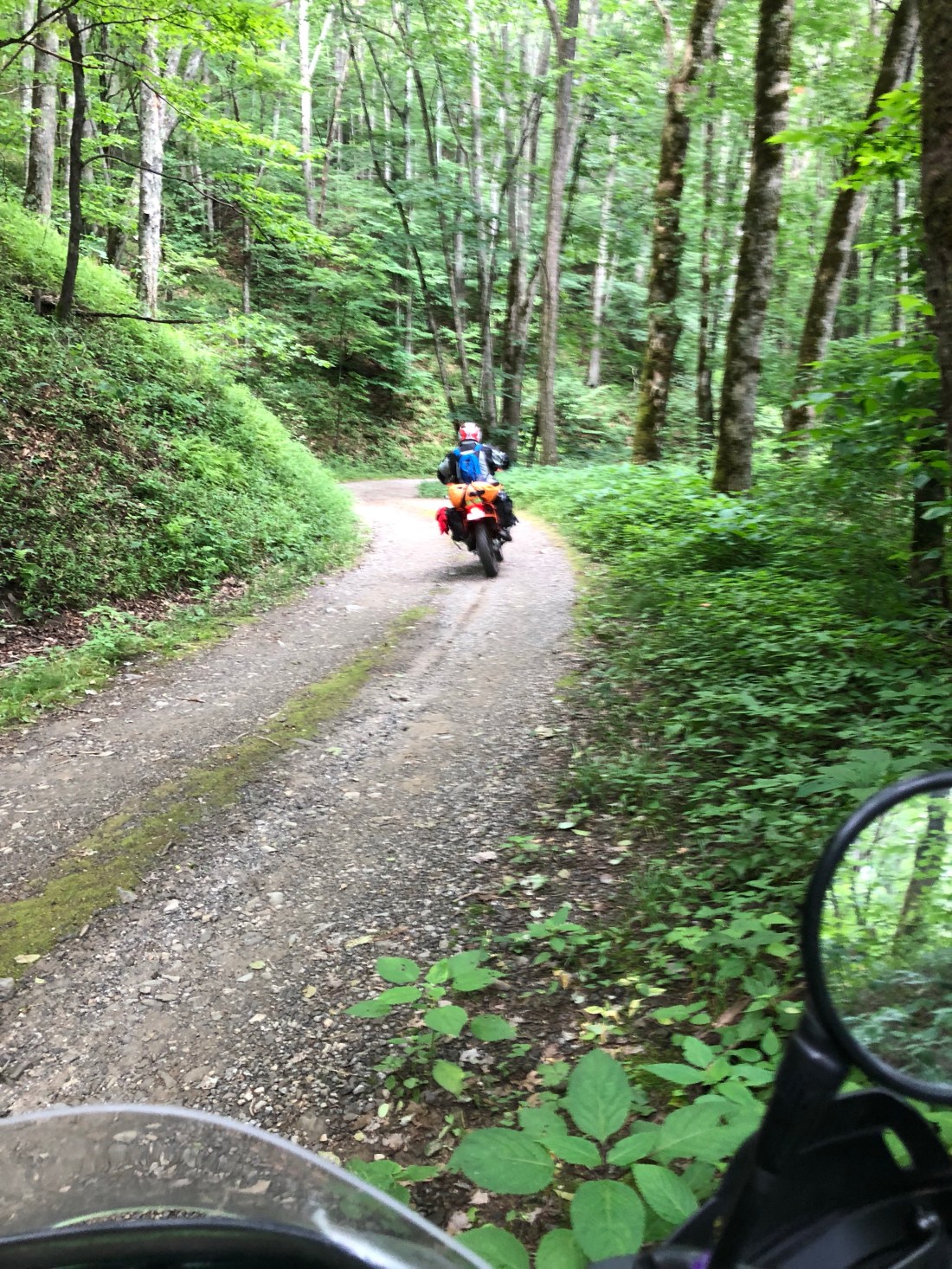
On the Trans America trail, there are three different sections to follow on the Garmin. The color blue (original route), green (easiest sections), or red (hardest sections/single tracks). We came across two red sections from Hot Springs, which we intended to conquer. Fuel became an issue and I was unable to feel confident enough to make it through the first red section, so we bypassed the section and found fuel. We then hit the second red section of the trail, which was a lot easier than expected. Majority of the section was on pavement, which was kind of disappointing. The second part was made up of moderate off road trails and ended with some of the most beautiful scenery I’ve ever seen (GoPro footage to validate, coming soon).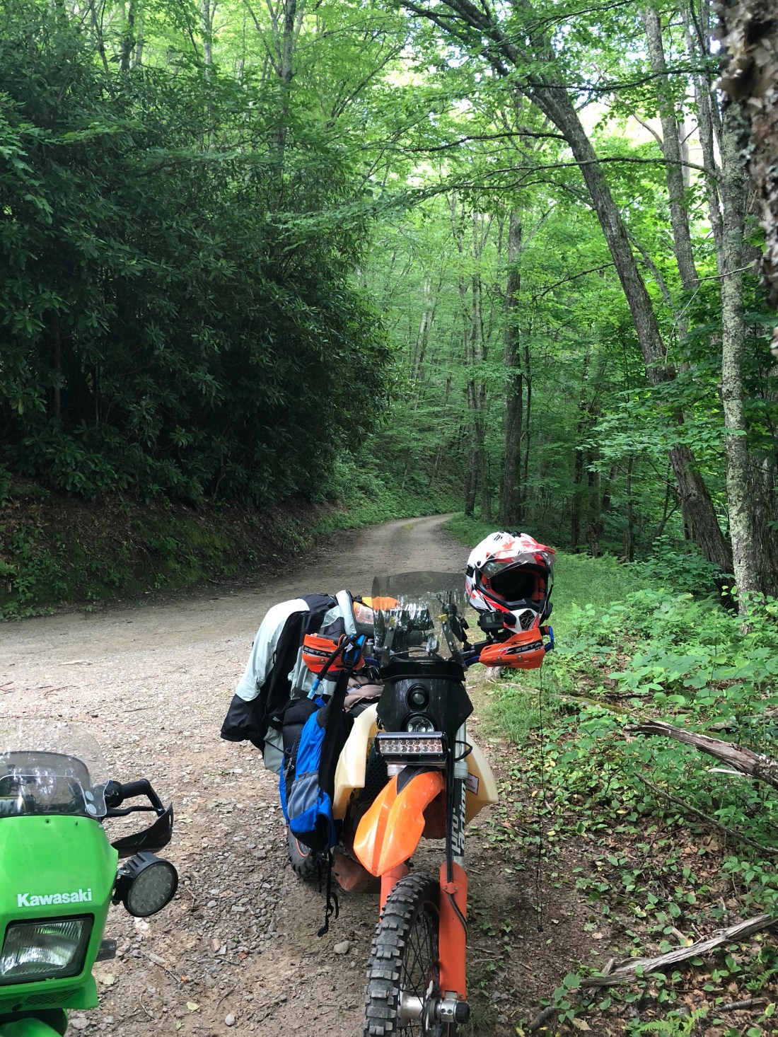 The trail spit us out in Cherokee, NC. We made our way to Sylva, NC and then to Highlands for the fourth. I’ll be back on the trail the 5th of July. After that, I’ll be on to new territory!
